Update: Phase I legislation has passed. Phase II community meeting dates announced, see below.
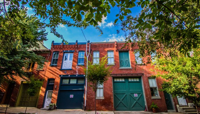
The Philadelphia City Planning Commission is working with community groups to update zoning districts in the 5th Council District, in the area from Roosevelt Boulevard to Sedgley Avenue between North Broad Street and 6th Street. We want your input on these updates so that we can learn about the community’s perspective.
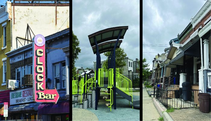
What is Zoning?
Zoning is the primary tool for regulating land use. Zoning is a set of regulations governing land development and permitted uses for property. These laws regulate what type of uses can occur (use), where buildings can be located on a property (area), and the size of the building (bulk). Existing properties may not conform with zoning regulations if they have received a variance for their use, area, or bulk, or if they legally existed before the zoning laws being enacted. Zoning Maps divide a community into different Zoning Districts, such as residential, commercial, industrial, and special purpose. Become familiar with Philadelphia’s Zoning Districts with our Zoning Quick Guide or watch a short video introduction to zoning.
How Do I Find Out How My Neighborhood is Zoned?
Zoning Maps show what Zoning District applies to a property. They can be found online at atlas.phila.gov under the zoning tab on the left side of the screen. The Zoning Code applies the rules of how properties in each district may be used and built on.
Why Would We Change the Zoning?
The Philadelphia City Planning Commission is in the process of updating zoning in neighborhoods throughout the city. These proposed changes will help meet community goals for how a neighborhood should grow. Your neighbors helped define these goals in the North District Plan in 2018.
What is the Area?
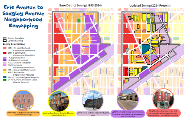
Neighborhood remapping of the 5th Council District will happen in two phases. In the first phase, we addressed zoning within the boundaries of West Erie Avenue, 9th Street to 6th Street following the 5th Council District boundary, the railroad tracks, and North Broad Street. Public meetings were held in September and October in 2024. Legislation passed on December 12, 2024. To read the bill and see amendments to the zoning map, click here.
This map compares the old zoning to the new zoning:
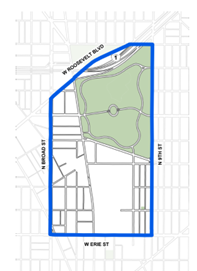
Our second phase began in January 2025 and addresses zoning within the boundaries of Roosevelt Expressway, 9th Street, West Erie Avenue, and North Broad Street, as depicted below.
How Can I Get Involved?
We are committed to listening to residents, businesses, and other stakeholders. To add your voice, please attend the following community meetings hosted by Councilmember Jeffery Young, Jr. and PCPC at Little Flower High School, 1000 W. Lycoming Street, Philadelphia, PA 19140.
- Meeting 1: February 19, 2025, 5-6:30pm – Zoning basics and project information
- Meeting 2: March 12, 2025, 5-6:30pm – Open house and map activities
- Meeting 3: April 16, 2025, 5-6:30pm – Open house to review remapping proposal
If you are unable to attend a meeting, we will post slides and materials on this web page after each meeting.